p:
0-1-2-3-4-5-6
Home
Personal
Railtracking
Enschede-Gronau
Enschede Noord -
Enschede Zuid -
Leeuwarden -
Hellendoorn -
Goor - Neede -
Zoutkamp -
Maastricht -
Winterswijk -
Winterswijk -
Bocholt - Borken
Quakenbrück -
BW Rheine
Rheine -
Burgsteinfurt -
Hochneukirch -
Frenz
Jülich -
Ruwertalbahn
Hunsrückbahn
Leeuwarder
Franeker - Arum
Einde Dokkumer
BW Oebisfelde
Oebisfelde -
Salzwedel -
Badel -
Abandoned
Grootse Plannen
Other

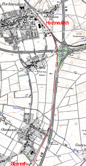
Hochneukirch - Jülich - Frenz (- Stolberg)

The Bergisch-Märkische railway company opened this railwayline in 1873.
Passenger service was stopped between Hochneukirch and Jülich in 1980, while goods transport from Hochneukirch up to Ameln lasted a while longer, till 1984, thanks to the sugar factory in Ameln. Passenger service between Stolberg and Jülich ended in 1984, only the last 10 km between the connection to the power plant at Frenz and Stolberg were kept open for goods transport. In 2004 passenger traffic was restarted from Stolberg to Weisweiler, while a new connection from Weisweiler to Langerwehe is planned, where it will connect to the Köln-Aachen line.
Between Frenz and Hochneukirch the railwayline has been removed shortly after it was closed down, though it can still be clearly recognised in the landscape as a long line of trees. Not for much longer though, because it is threatened by two seperate lignite mines.
(source: Reinhard Gessen)

15,16,17-10-2005
On foot I can reach almost every place as I am not dependant on roads or paths and it is hard to miss anything. It just takes a bit longer. For that reason I took my backpack and camping gear with me.


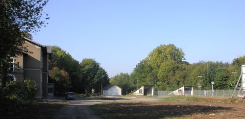
Station Hochneukirch, the dark gray painted ceiling inside making it as cheerful as a military bunker. Because the tracks towards Jülich were removed the distance between station building and the remaining tracks to Jüchen is unusually large. The station also features a small unused goodsshed.

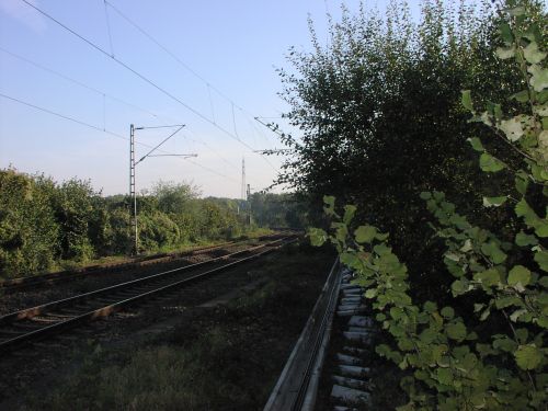
Near the highway the railway towards Jüchen bends to the east. Our line is recognisable as a heavily overgrown dam continuing southward.
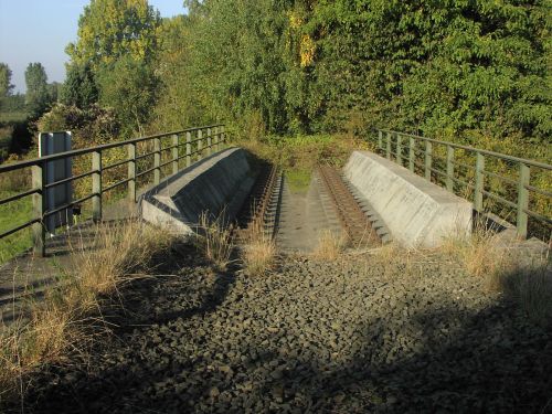
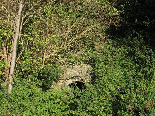
Culvert

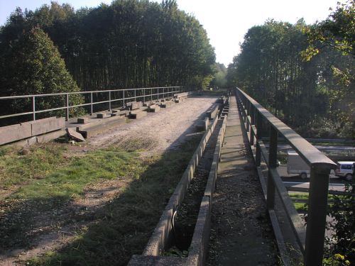
The double bridge crossing the highway A46 and its turnoff to the A44 seems to be used for agricultural traffic. After the bridge the railway is again overgrown, though here and there the gravel still be seen.

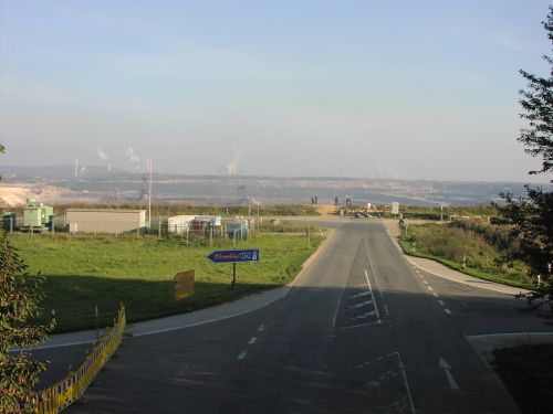
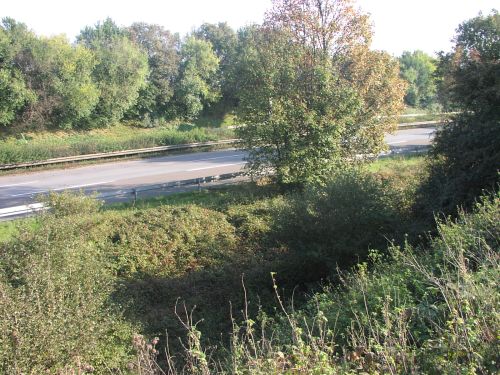
Because of the approaching lignite mine the highway here has also been closed down. The railway ran right next to the highway, here in the cut in the foreground.

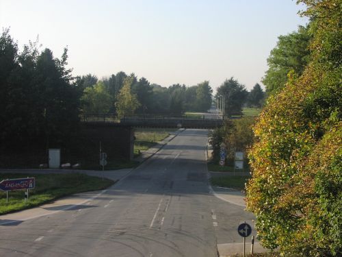
Railwaybridge at Otzenrath as seen from the highway viaduct.

Looking the other way into the lignite pit.

.
Here are more pictures of the lignite mine and a report on Otzenrath
Next Page

Creative Commons License