 |
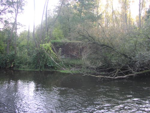
 A set of small bridges crossing a stream south of Jülich station. The one we want is hidden by trees. The rusty rails seen in the picture go to Kirchberg |
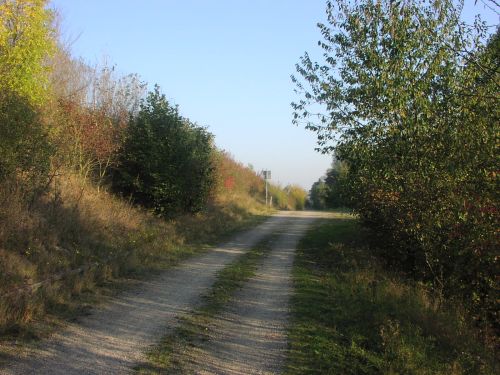
 This gravel road follows the railroad, but if it's directly on or next to where the railway was I cannot say. |
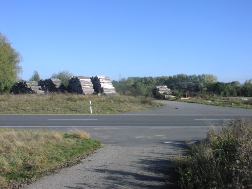
 The road B56, on the lefthand embankment, was build after the railroad was closed. The bump is were the B56 was build over the railroad. |
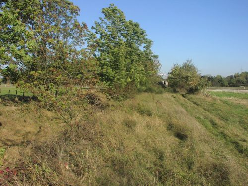
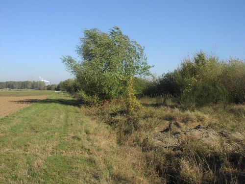
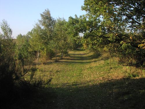 A wide grass-covered dam runs towards the river Rur. |
|
|
 Rur |
| Getting to the other side results in either wet feet or a big detour over Kirchberg. I chose the last option, after a nights sleep. The detour over Kirchberg had the advantage of doing some other interesting railtracking: Jülich - Kirchberg |
 On the south side of the Rur, looking towards Jülich. Here the railroad crossed this local road. |
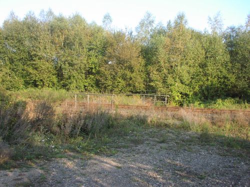
 The railroad is not so totally overgrown here |
 Tracks of apassing excavator have unearth a bit of the gravel. |
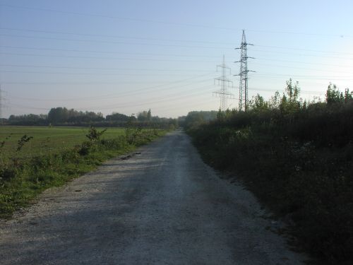
| We are obviously moving into lignite mining territory again. Pumps, to
lower the watertable, are everywhere together with gravel roads for maintenance
crews to use. Even the edge of the open-cast mine can be seen by the masts
put up alongside it. The railroad is always recognisable and is sometimes used as field road. |
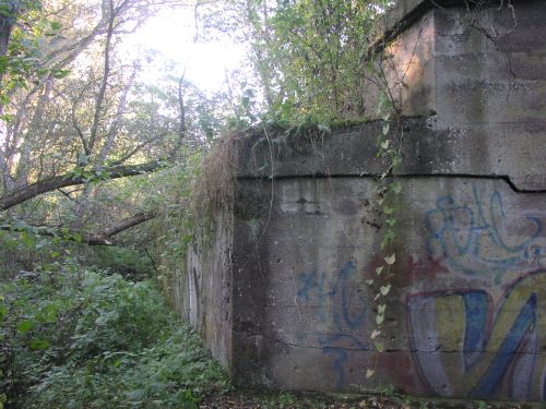
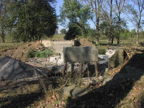 I decided for a small detour to Altdorf which would have been on the other side of this roadbridge. The last remnants of the bridge seem also to be the last remnants of Altdorf. |