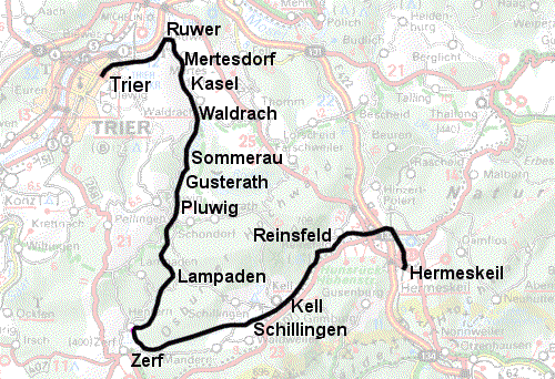
Ruwertalbahn (Hochwaldbahn, Trier - Hermeskeil)The railwayline from Trier to Hermeskeil was opened in 1889. In 1905 the maximum speed was raised to 50 km/hour, which was still the case at the end. In spite of this low speed the line was quite popular and got of on a good start. In both worldwars the line was of military importance. In WW2 of the 28 bridges, 23 were destroyed, no traffic was possible until repaires were finished in 1950. Passenger traffic was gradually stopped between 1982 and 1986, goods traffic halted in 1989 and the line lay quiet until 1992 when the Hochwaldbahn e.V. ran museum trains over the line. The end of the line came when NATO decided the line no longer served any military purpose. The museum railway did try to save the railroad by offering to buy it but they could not fight the greatest wish of the local politicians; to change it into a bicycle path. In 2000 the rails were removed. I've used the current kilometer numbering which starts at the north end of the Trier shunting-yard, originally the numbering (and the railroad) started at Trier station. The current numbering you'll find on the kilometer stones and on the topografic map, but in literature you often find the old numbering. The difference is about 4 km. |
 |
|
18,19,20,21-10-2005 After a long and somewhat uncomfortable journey in a new lightrail vehicle through the Eiffel I arrived in Trier. The drinking water supply was quickly replenished at a graveyard but petrol for my stove was harder to find. I ended up at a gasstation several kilometers from my planned route, which was silly because as you will see I passed another petrol station at Ruwer. |
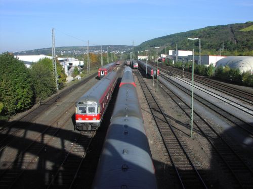 From a roadbridge across the shunting yard at Trier, looking north-east. The railroad I am going to follow in the next days connects at the white buiding at the right in the background. |
 First view of the overgrown railroad to Hermeskeil, looking towards Trier. The track in the foreground connects to the shunting yard, the track in the rear passes under the main railroad and connects to industry in the north-east corner of Trier, running parallel to the north side of the main line and once upon a time finally connecting to it near Trier station, though according to the Hochwaldbahn website this is no longer possible as a paper factory has been build across it. I feel stupid for not following the line back a little towards Trier and at least taking a look at the railway bridge. I hadn't noticed the bridge on the map at the time and was in a bit of a hurry (or was it lazy?) as wild camping in the city is a bit difficult. |
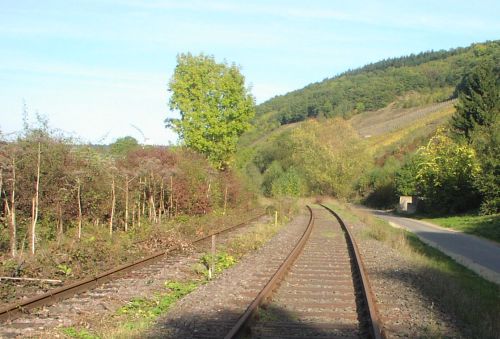 Near km 1, looking toward Ruwer |
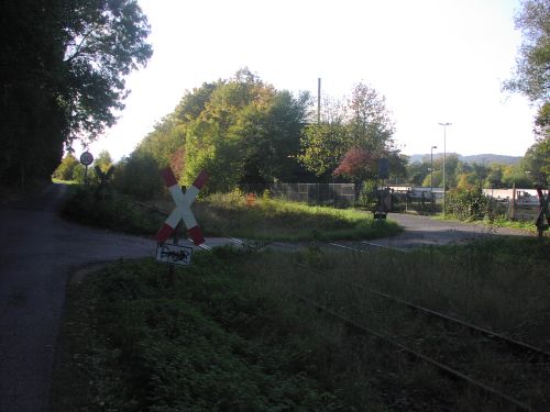
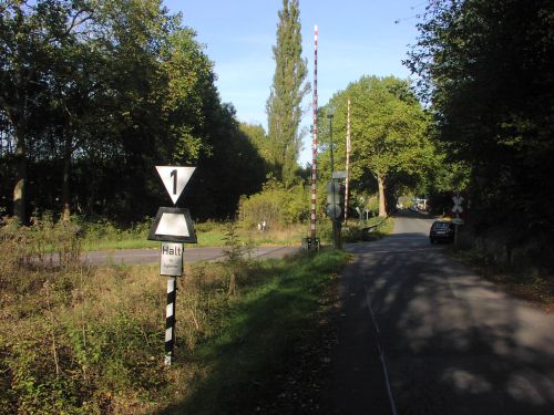 Railroad crossing at +/- km 1.5 |
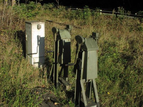 Used to be manual labour to close the barriers. |
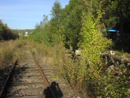 Overgrown Ruwer shunting yard. It was once an important transferstation between the Hochwaldbahn and the Moselbahn (Trier-Nord to Bullay). (Oh, and an Aral petrol station) |
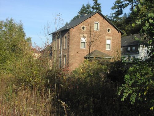 Station building for the Moselbahn or is it just office space and living quarters for station personnel? |
| At Ruwer the railroad makes a 90 degrees turn to the south-east. into the Ruwer valley. |
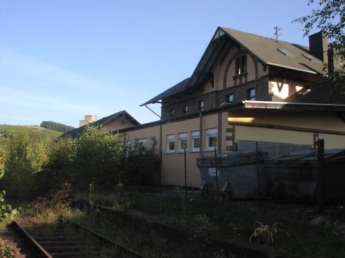 Ruwer station. An ugly extension has been added to the rear, but one of the platforms is still visible. |
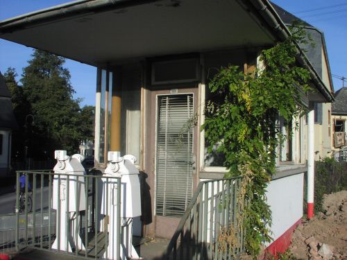 A romantically overgrown railroad crossing guardhouse. Sorry for the extreme close-up, there was a big excavator at work right at my heels (see next page). |

