
| At Benkendorf the railroad makes a sharp bend to the south. The track here looked very overgrown and the cornfield next to it not very passable either so I chose to take the road for a kilometer and join the railway again at Büssen. |
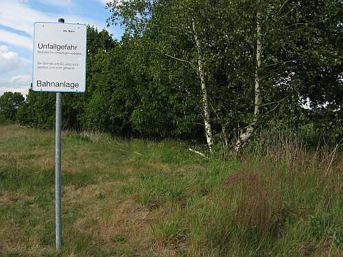 Here halting place Büssen must have been but only the "Unfallgefahr, Bahnanlage" sign points this out. |
 Same place, looking south. The track is overgrown like this for a long distance. Luckily for me there is a pretty gravel road running next to it. |
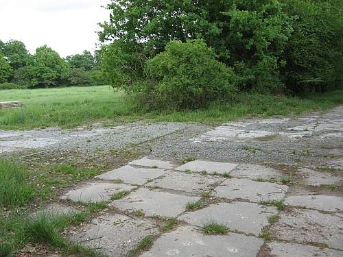 A railroad crossing, but probably made after the railroad had already closed down. |
| On a side note, I found an occupied badger hole nearby, just meters behind my intended camp site, just after I had put up my tent. Yes I did move the tent. |
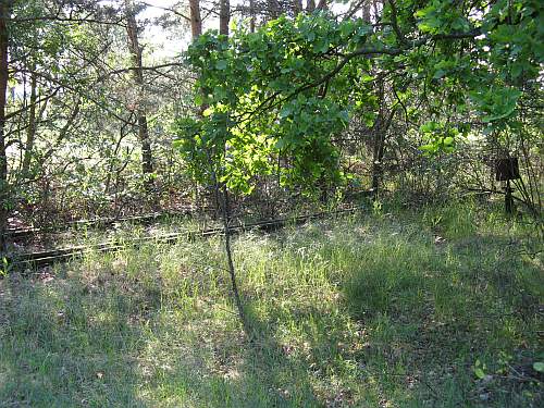 Next morning; turnout at Jeggeleben |
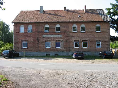 |
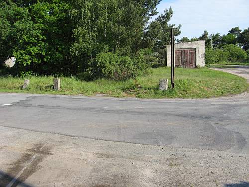 The garage-like shed is what is left of the waiting shelter. |
| In the narrow gauge days the railroad went on southwest to Wintersfeld.
When the track was converted to normal gauge in 1926 the route was changed
to lead to Badel. I haven't found any traces of the old route, though I
have to say I don't exactly know where to look. Also the narrow gauge track
was of a much lighter construction so it is likely there is much less to
find anyway. On we go to Badel. |
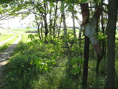 Very few signs have survived the years |
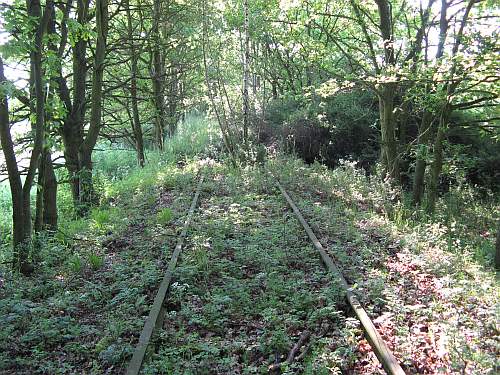 One of the more passable bits. Further on there are a some meters of rail missing here and there. |
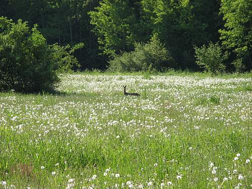 Nature and wildlife |
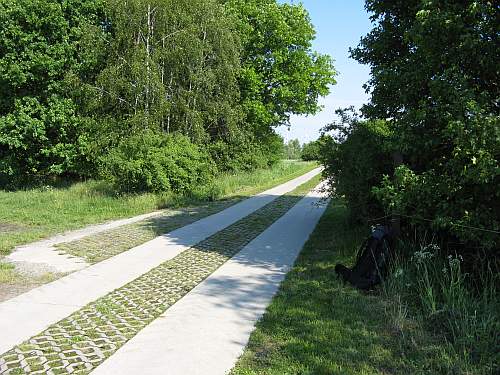 A bit of track has been removed for this newly paved field road. |
| I had an unexpected long break here. My new camera had reset itself to the default setting of super-duper-extra-high quality meaning my memory card was suddenly full. The quality of my pictures is limited by the skills of the photographer anyway so most of the time I use a low quality setting and have plenty of storage space. Now I had to check all photographs and throw away all duplicates and less interesting ones to make some room. |


